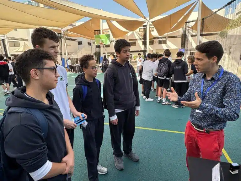
On 20 March, our Year 5 pupils carried out an exciting study of seismic risks in the Abu Dhabi region. This cross-curricular project, supervised by Mr Thomas Boillot, geography teacher, was carried out in cooperation with Mr Nicolas Serrano, life and earth sciences teacher.
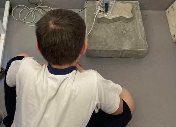
Thanks to this interdisciplinary approach, our students visited the Lycée Louis Massignon's seismic station, a connected device that records regional seismic activity in real time. Thanks to this tool, they were able to observe the data live and thus see earthquakes in real time.
Back in the classroom, it was time for analysis! Using Tectoglob 3D software, developed in partnership with the Académie de Nice, they studied the structure of tectonic plates in the Arabian Gulf region.
Explore Tectoglob 3D
Finally, by consulting the official website of the Emirates' National Centre of Meteorology (NCM), the students were able to view recent earthquakes recorded in the region.
Consult the NCM seismic map
The result? Around a hundred earthquakes were recorded between 1 and 20 March, including one that very morning in the Gulf of Aden. This data enabled the students to better understand the contrast between the relative stability of Abu Dhabi and the intense seismic activity of its neighbours.
Every day, many earthquakes are recorded by the LLM station and by the National Center of Meteorology, without us necessarily feeling them. It's a great way to take a practical look at the concept of seismic risk, combining digital tools, field observation and critical reflection.